
Call: +91 7384718607
Call: +91 7384718607
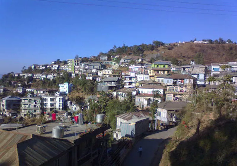

Home of the highest waterfall in Mizoram, the district of Serchhip lies in the central part of Mizoram. It is bounded on the north by Aizawl District, on the south by Lunglei District, on the east by Champhai District and has an international border Myanmar. Serchhip town is the district headquarters. The district came into existence on 15th September 1998. Considering its young inception and it boasts of the highest literacy rate recorded in India.

Literally 'Cloudy Stone', Lungkhawdur is located near Vanchengpui village, about 150 kms to the south-east of Aizawl via Kawlkulh. This is a large flat stone with a mass of elliptical shapes embossed on its surface resembling the alto cumulus formation of clouds. It is difficult to ascertain whether it is natural or man - made. On the upper and lower ends are deep grooves following the same pattern, similar to the preliminary lines a sculptor would have made for a large work.
A cave named after the Mizo Zirlai Pawl (MZP), a student organisation following its discovery by student explorers in 1980, MZP Puk is located near Ngentiang village about...kms to the south-east of Aizawl. Though it has not yet been fully explored and mapped with proper equipment, it has been explored to a length of about 220 metres (725 ft) which makes it the longest cave in Mizoram.
Tuilut is a sinkhole found near MZP Puk. It is a large crack on a rocky ground where a stream called Pherpui flows in without any known outlet, which till today remains a mystery, particularly considering the large amount of water that disappears into it during the rainy season. According to the local youth adventure club that has carried out an exploration, the sinkhole has a vertical drop of about 40 ft from the mouth, and then inclined slightly and can be explored up to a length of about 213 meters.
Around Ngentiang village noteworthy landmarks are
'Sahlam', an old tree on which 'Human heads were hung', dating back to the days of chief Lalvunga when slain enemies were decapitated and their heads displayed as trophies;
'Lamlung', a large flat rock where in the olden days the villagers used to perform 'Chai' dance with Neihlaia who was said to possess some magical powers including love potion and was feared by all including the chief.
There are also beautiful cliffs nearby which are worth exploring and are particularly spectacular during the rainy season when waters cascades down from the numerous gorges.
Situated 56 km to the south of Serchhip, N. Vanlaiphai is well known for being the only village to be attacked by Japanese fighter planes during the Second World War on March 28, 1944. On this day six Japanese fighter planes circled over the village and started strafing the unwary village and dropped two bombs. Fortunately no one was killed except for one domestic pig. Vanlaiphai was one of a few villages where the British government constructed a hospital and it seemed the Japanese had targeted it along with the doctor's quarter. The bullet holes on the hospital buildings and some of the bomb craters are still there to be seen to this day. Built in 1913, the hospital is still in good shape and is now one of the few remaining relics of the British occupation.


